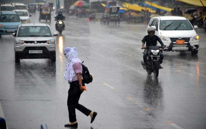
In the recent past, such early coverage of Southwest Monsoon over the entire country occurred in 2013 when it covered the entire country on 16th June 2013. IMD said, the early advance over the central and northwest India was facilitated by formation of a low pressure area over Bay of Bengal which moved west-northwestwards and another cyclonic circulation over central India.
It said, the Southwest Monsoon has further advanced into remaining parts of Rajasthan, Haryana and Punjab. During past 24 hours, there has been fairly widespread rainfall activity over West Rajasthan and adjoining Punjab and Haryana in association with the cyclonic circulation at lower tropospheric levels over northeast Rajasthan.
IMD said, considering southwest monsoon onset and advance over the country as a whole, there has been normal progress over south and east India, about a week delay advance over northeast India and about 7 to 12 days early advance over central and northwest India.
IMD forecast that with favourable meteorological conditions, the enhanced rainfall or thundershowers activity is most likely to continue over the northeastern states and adjoining east India till Sunday with light to moderate widespread rainfall over Bihar, Sub-Himalayan West Bengal and all eight northeastern states. Heavy to very heavy rainfall at a few places with extremely heavy falls at isolated places are very likely over Sub-Himalayan West Bengal and Sikkim till Sunday.
